 TARRANT COUNTY, TX

 Tarrant County Archives
J. Andy Thompson Collection

Summary: Donor gave eight volumes of Sanborn Insurance maps and two index volumes. Each volume is large, measuring 25.5 by 24.5 inches, and some are in fragile condition.
- Volume 1 - 1910, Key Map 1926, Index January 1936, Key map January 1945
- Volume 2 - 1926, Key Map 1949, Correction Record 1949 to 1971, Index Feb 1950, February 1955 Correction
- Volume 3N - 1927, including River Oaks, Key Map December 1964, Correction Record 1965 through 1969
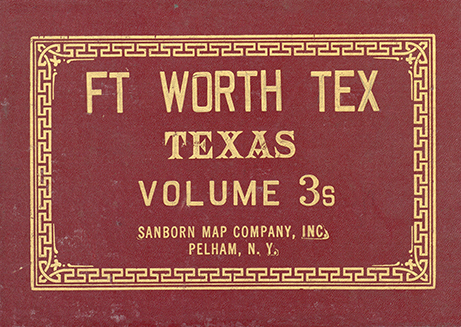
- Volume 3S - 1927, Key Map December 1964 (image shown)
- Volume 4 - 1927, including Westover Hills, Key Map March 1949, Index March 1949, "additional Index" April 1948 and March 1951, February 1956 Correction
- Volume 5 - 1927, Key Map 1949 and 1951, 1956 Correction
- Volume 6 - Index 1935, Additional Index 1949, Key Map 1955, 1955 Correction
- Volume 7 - 1926, including Haltom City and parts of North Richland Hills and Richland Hills, Key Map February 1949, Key Map No. 2 February 1950, Index February 1950, March 1956 Correction, March 1958 Correction
- Two Index books (small black books) Pelham N.Y. GENERAL INDEX, SANBORN MAPS, FORT WORTH, TEXAS, 1951